SERVICES
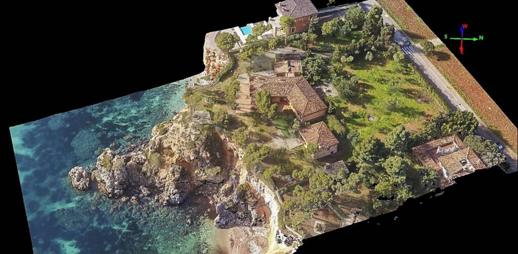
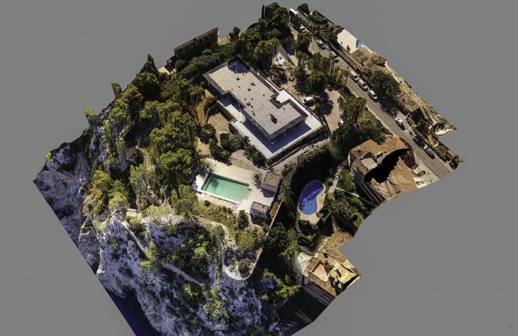
3D point clouds
High-precision three-dimensional representation
A point cloud is a digital representation of a 3D object or space, formed by a collection of points with X, Y, and Z coordinates. These points are obtained using photogrammetry techniques from photographs taken by a drone.
The result is like a 3D photograph that allows you to view the objects within it from any angle and distance.
Point clouds are used to create detailed 3D models of any surface, building, etc., facilitating planning, design, and construction or renovation. They are also useful for construction inspections, quality control, and error detection, among other things.
With point clouds of a surface, we can generate Digital Terrain Models (DTMs and DSMs).