SERVICES
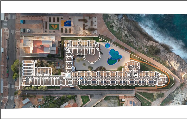
Georeferenced plans
Precise coordinates
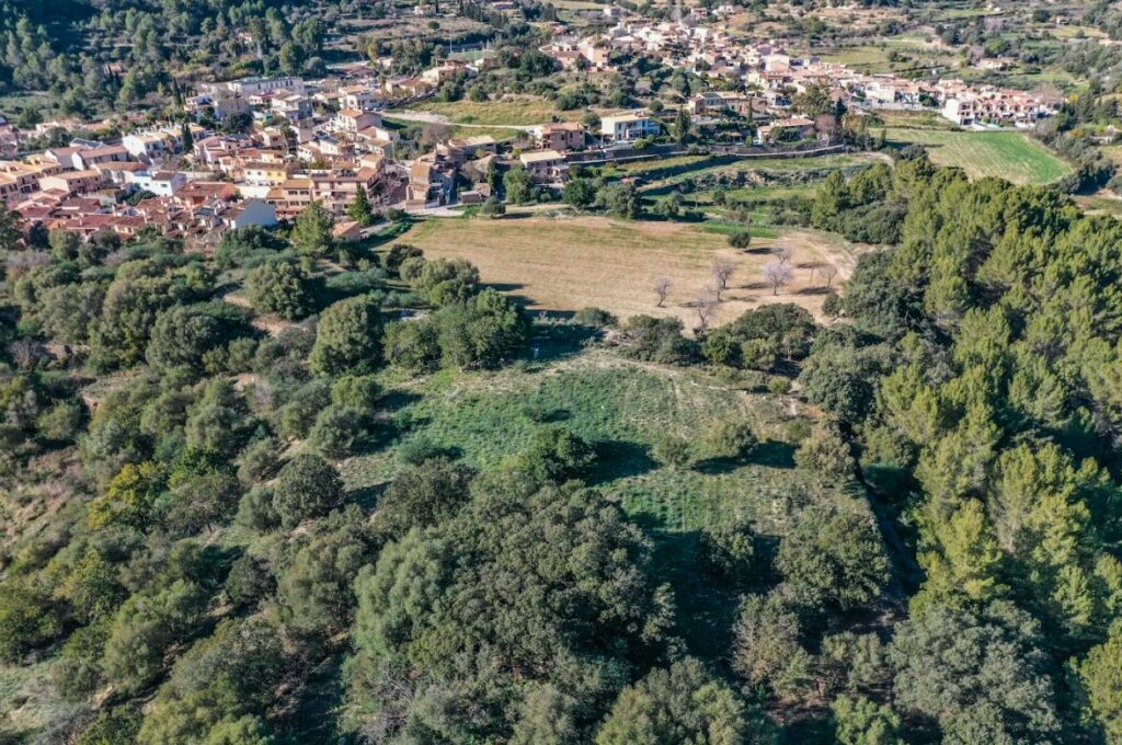
A georeferenced plan is a map or plan that has been linked to a specific geographic coordinate system, allowing its precise location on Earth. This means that each point on the plan has exact coordinates that correspond to its real-world location.
It allows the exact position of a building, plot of land, or any element on the ground to be determined using geographic coordinates.
It is a requirement for registering properties in the Land Registry, especially since 2015, according to the Mortgage Law.
It is necessary to submit a Georeferenced Plan (RGA) to the Registry for the following procedures:
- To register a Declaration of New Construction.
- In the case of any segregation, aggregation, division, or grouping of plots.
- For the initial registration of a property in the Registry.
- To correct or modify the description of an existing property in the Cadastre or Land Registry.
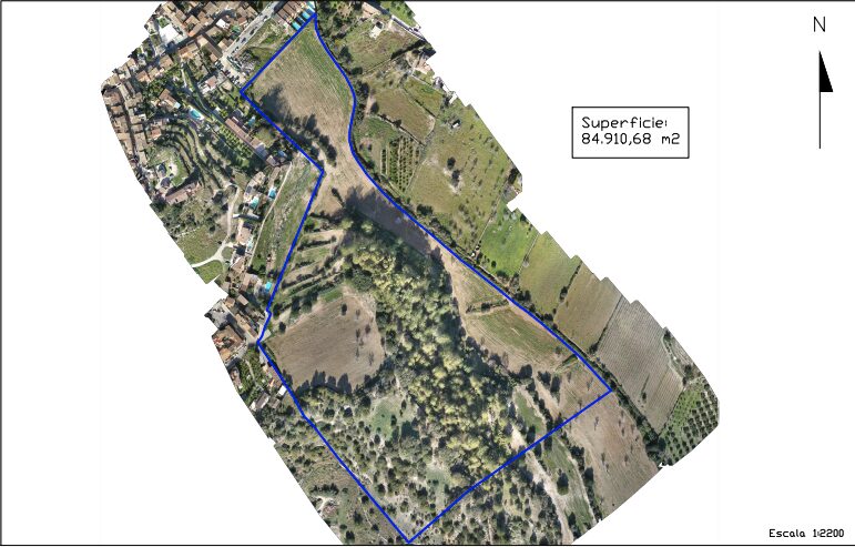
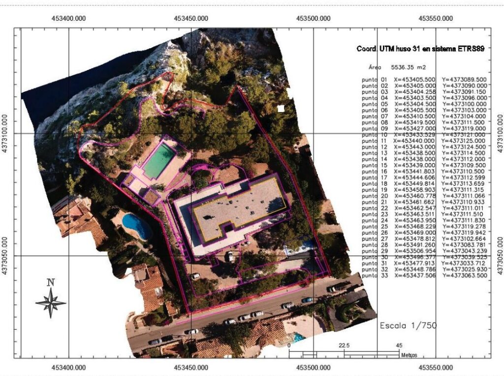
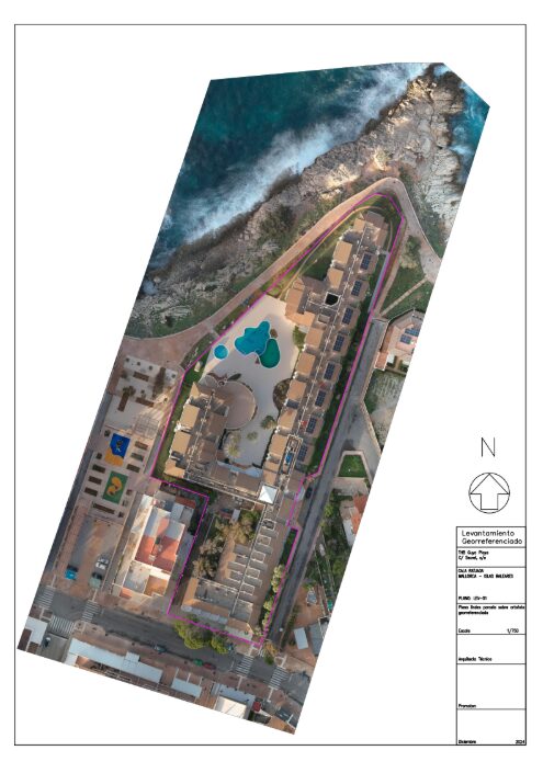
The Alternative Graphic Representation (RGA) of a property is a georeferenced plan that precisely delimits the plot of land it occupies by expressing the geographic coordinates corresponding to each of its vertices, referenced to the official geodetic system, and must be prepared in GML format.
At Scandrone, we specialize in creating RGAs and GMLs for both properties and buildings from georeferenced orthophotos. These plans are signed by a qualified technician so they can be submitted to the Notary, Land Registry, and Property Registry.