SERVICES
Topographic Surveys and Stakeouts
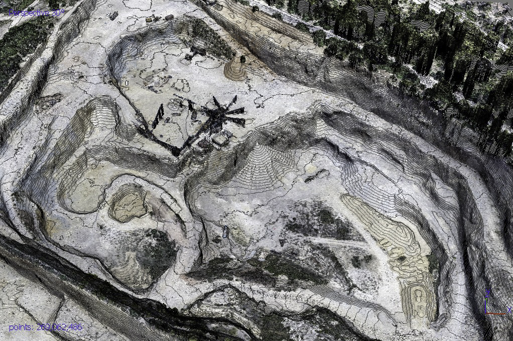
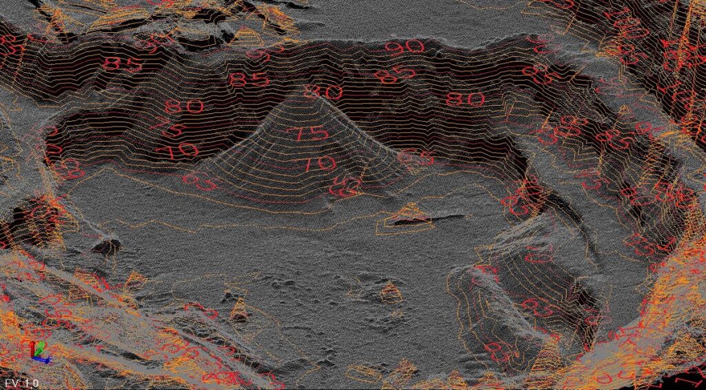
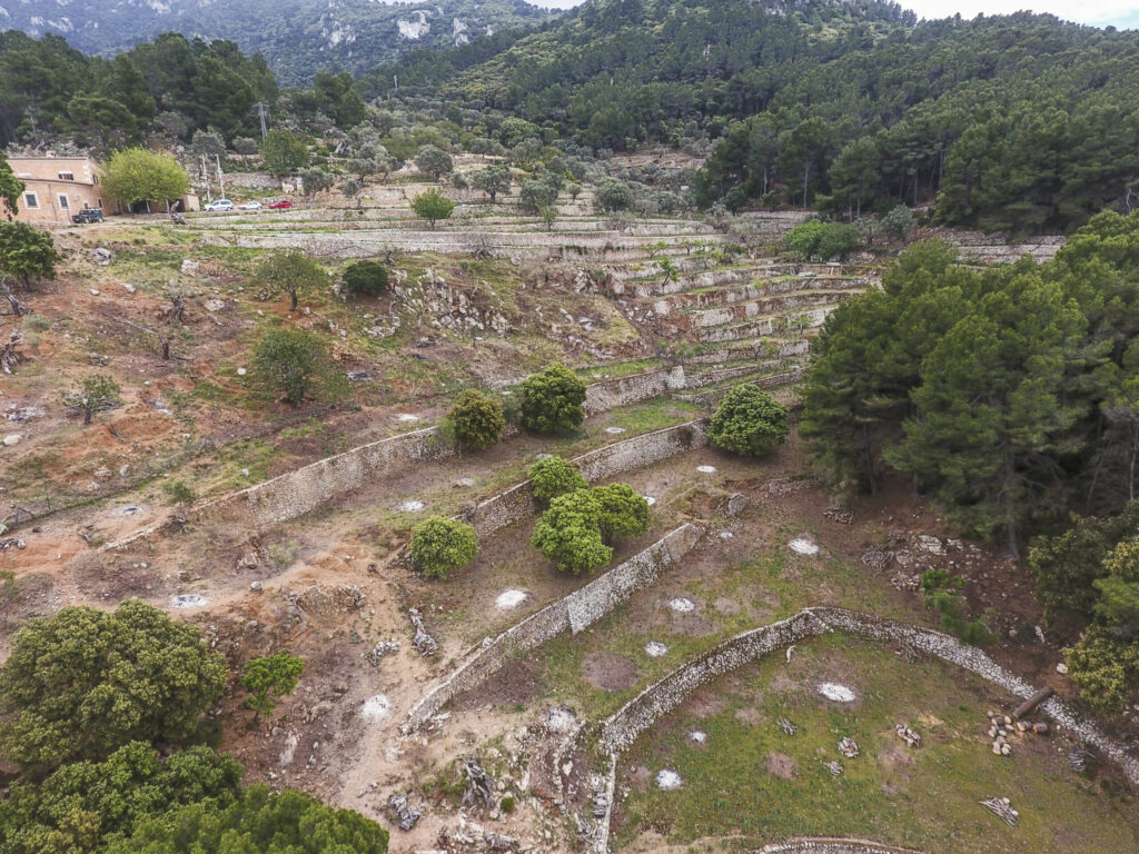
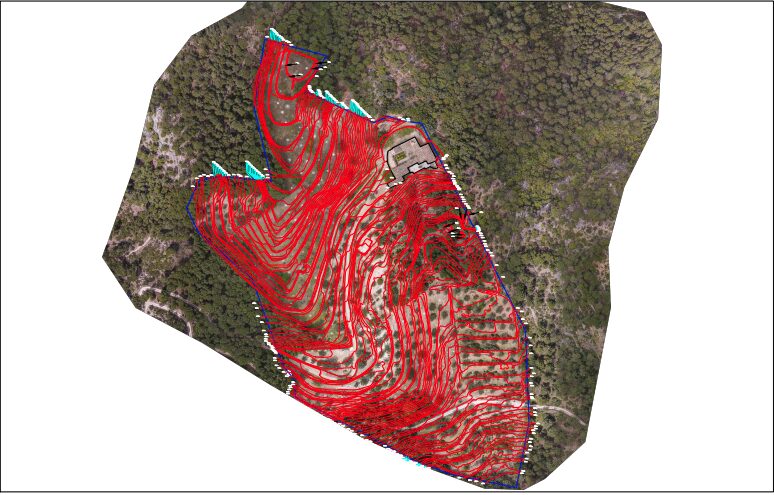
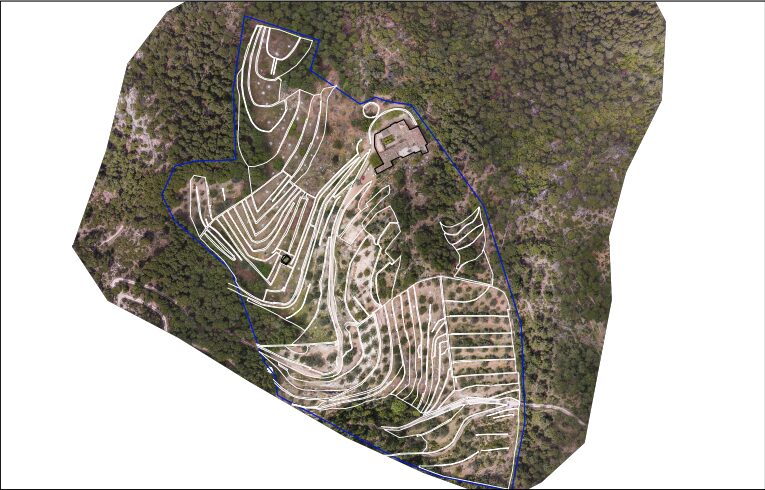
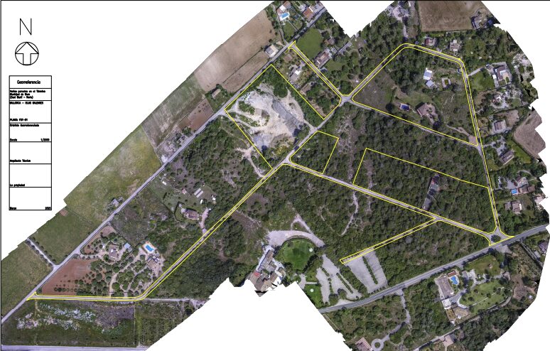
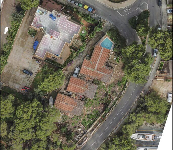
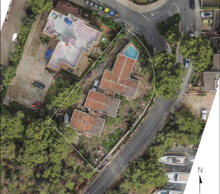
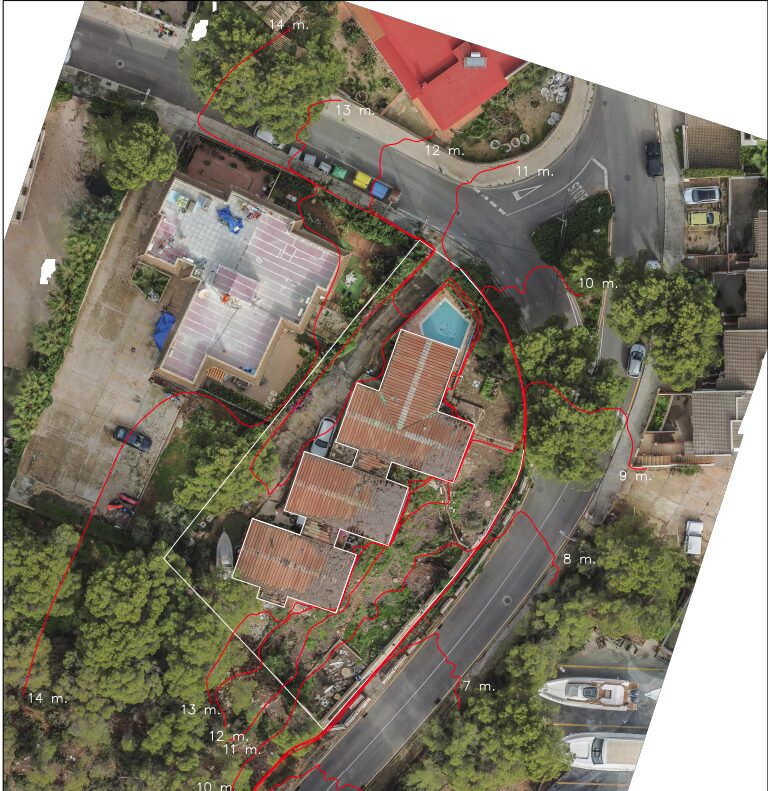
A topographic survey is a process that involves measuring and graphically representing the physical characteristics of a terrain, including its shape, elevations (contour lines), and existing features, to create a plan or digital model. This technical study is fundamental for planning construction projects, engineering projects, urban development, and many other applications that require precise knowledge of the Earth’s surface. By using aerial photographs, all the details of the terrain and buildings are clearly visible, all to scale, allowing for the creation of a topographic map of the surface and structures.
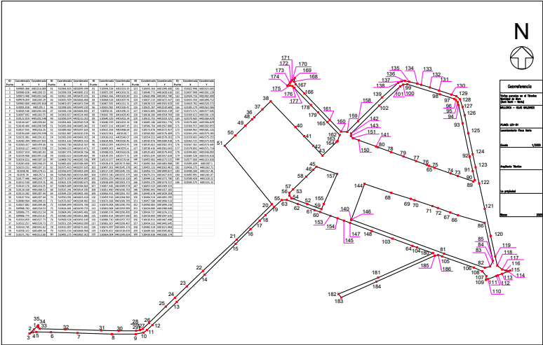
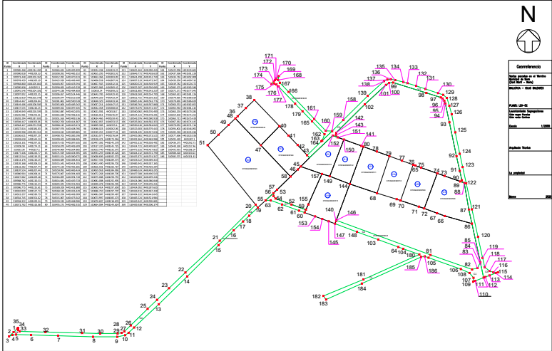
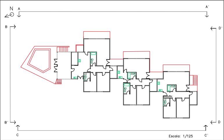
We also do the reverse process, the layout;From georeferenced plans, we can locate and mark any point on the plan on the ground (axes, foundations, beams, boundaries, etc.)